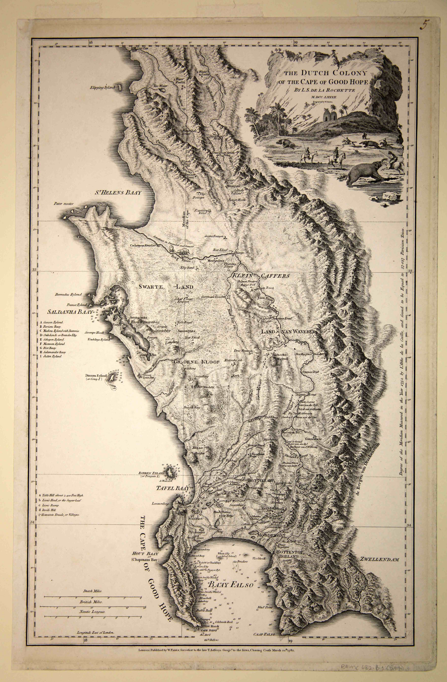
Faden's General Atlas (London, 1782 & 1795)
Norwich #236; Tooley pp. 41 - 42; Roger Stewart, De la Rochette's map of the Cape of Good Hope, IMCoS Journal 132 (2013): 22 - 27
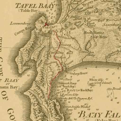
This is an eclectic and somewhat anachronistic map that filled a need for the British public which had become increasingly interested in the Dutch Colony of the Cape of Good Hope. The map was a significant advance on Seller's inadequate map, which had been published more than a century before; however, much of the information on property and people was very outdated. The 1795 edition of the map include new information after the British had captured the colony in the same year. Furthermore, on some examples of the 1795 map, the author drew by hand, in red ink, the route that the victorious Britsh troops marched from Simonstown to Cape Town - see second image. In their haste to publish the map, Faden and De la Rochette forgot to change the title of the map to reflect the British victory!
Along the right border of the map, De la Rochette reports the result in 1752 of Lacaille's measurement of the arc of the meridian at the Cape. While the map has a much improved coastline, De la Rochette repeats the error of the excessively long Saldanha Bay present on the maps of both Lacaille (map #6) and Mannevillette (map#7) and his Hout Bay is too large.
De la Rochette's map must have been popular: it was published by Faden in 1782 and 1795, by James Wyld the Elder in 1825 and by his son in 1838; Frans Schraembl published a German edition in 1789 (Das Vorgebirg der Guten Hofnung ...).
